
GIS Day 2024 and Community Mapping Activity
This project has been archived and is no longer in use.
In celebration of GIS Day on Nov. 20, 2024, the community is invited to explore how GIS is used by the City of Edina. On this page, you can learn more about this technology, ask questions to City Staff and participate in a fun community mapping activity.
What is GIS?
GIS - short for Geographic Information Systems - is a technology used to make, store, analyze, manage and visualize spatial data, often in the form of a map. The data is often kept in a specialized database that includes geographic information. This data can then be shared in a variety of ways, often through web maps, to visualize and understand data between locations. Using GIS tools can help residents and staff understand patterns, relationships and the geographic context of different data. This can quickly communicate information, tell a deeper story and improve decision making.
How Does the City of Edina Use GIS?
The City of Edina has been using GIS technology for more than 20 years, and it is used by nearly every department in some way. Staff use GIS technology for field work, inspections, planning and public safety.
The Community Can Use GIS, Too!
The City provides a variety of GIS maps on EdinaMN.gov that make it easy to find information about local services. Here are a few examples:
This project has been archived and is no longer in use.
-
Participate in a Community Mapping Project!
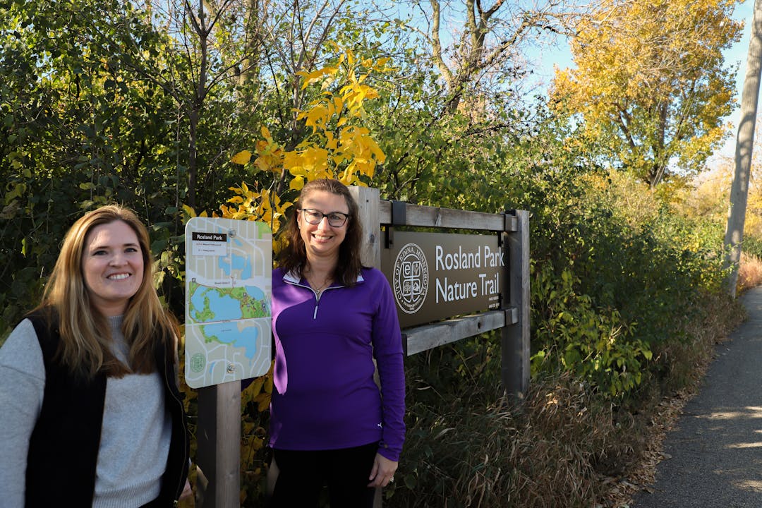
Share Participate in a Community Mapping Project! on Facebook Share Participate in a Community Mapping Project! on Twitter Share Participate in a Community Mapping Project! on Linkedin Email Participate in a Community Mapping Project! linkJoin us in creating a web map for GIS Day 2024! Get hands-on experience with GIS by participating in this fun activity. By Friday, Nov. 8, simply find your favorite fall foliage or nature spot in Edina, and submit the location along with a photo at Bit.ly/EdinaFallMap. We will share the final community map on this page on GIS Day, so be sure to check back!


Who's Listening
-

Phone 952-826-0386 Email adhennin@EdinaMN.gov -

Phone 952-826-0447 Email RFoster@EdinaMN.gov